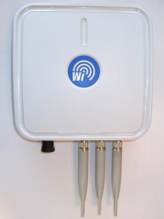
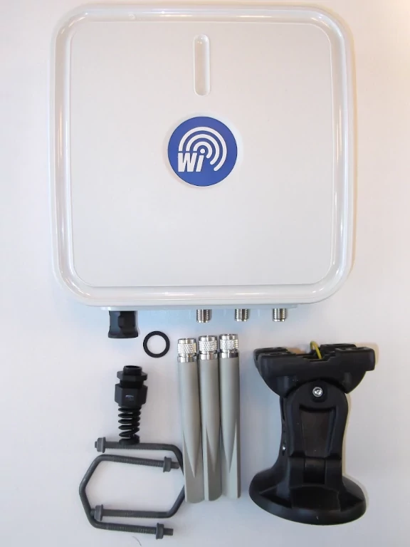
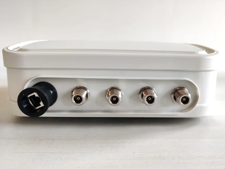
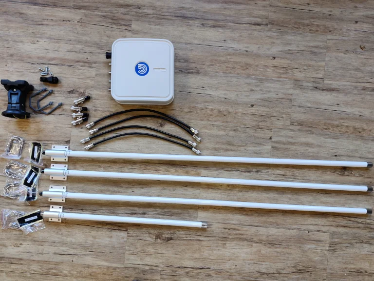
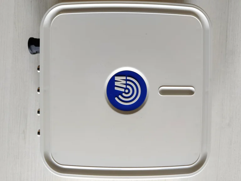
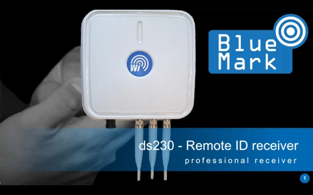
DroneScout receivers: no monthly fees, no dependency on third party services, root access to the receiver and open-source software to display detected RemoteID signals. DroneScout receiver products are USA NDAA compliant (Section 889 of the National Defense Authorization Act (NDAA)).
DroneScout is a (direct/broadcast) Remote ID receiver that receives Remote ID signals. A receiver is also called sensor or radar. The EU and USA are planning new rules that make Remote ID mandatory for drones over 250 grams weight. Technically Remote ID is called Direct Remote ID (DRI) in the EU and Broadcast Remote ID in the USA.
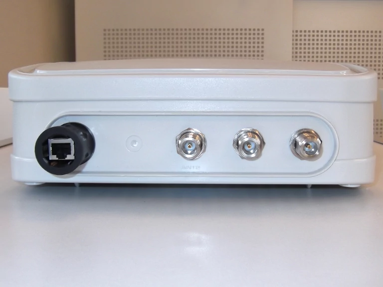
The DroneScout receiver supports all transmission protocols (Bluetooth legacy, Bluetooth Long Range, WiFi NaN and WiFi Beacon) and all frequency bands (2.4, 5.2 and 5.8 GHz). Furthermore, DroneScout uses Power of Ethernet (PoE 802.3af/at) for both connectivity and power.
The product is intended for system integrators that want to integrate the DroneScout receiver into their product. In technical terms, the received Remote ID information by DroneScout is transmitted in JSON format to a MQTT broker. Reference source code is provided to process the received information. Internally, the receiver uses the Open Drone ID framework that support both the DIN EN 4709-002 standard (EU) and ASTM F3411-22a-RID-B (USA).
Products
ds230
Cost-effective basic Remote ID receiver
ds240
Long Range Remote ID receiver, 3x more detection range compared to the ds230.
ds240 barebone
Long Range Remote ID receiver (barebone edition). No antennas, antenna cables or surge protectors
DroneScout SDK
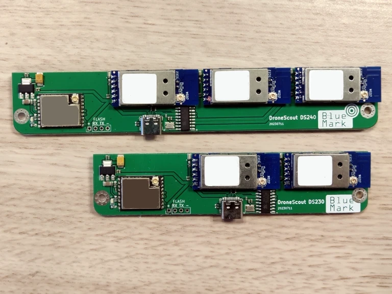
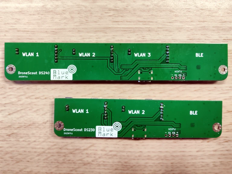
SDK of our DroneScout receivers. It consists of the ds230/ds240 radio board and the DroneScout application that runs on ARM64/x86-64 platforms using Docker virtualization.
DroneScout Bridge
A small single radio RemoteID receiver for iOS, Android and drone.
Add-ons
Add-ons are installed by us in the DroneScout receiver when you order them together.
DroneScout Dashboard
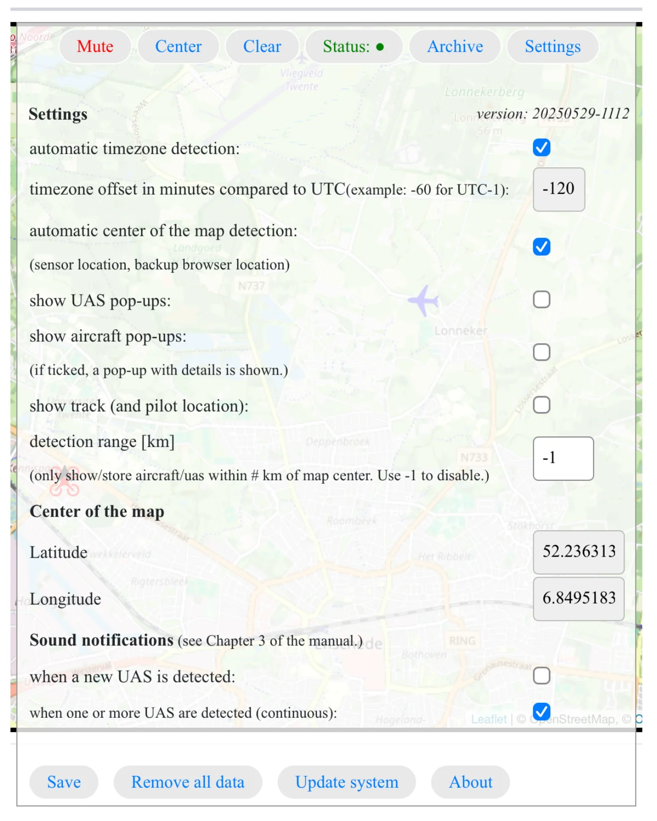
DroneScout Dashboard is a paid option (one time) for the DroneScout receivers. It allows you to visualize, store and export captured RemoteID signals. It designed for basic single sensor deployments.
LTE modem
The LTE add-on is a LTE modem that can be used in a DroneScout receivers. It has a SIM slot and includes antennas.
Band pass filter pack
Band pass filter pack. In urban areas with nearby LTE base stations, these outdoor band pass filters will filter strong LTE signals and improve detection range.
ADS-B receiver
ADS-B receiver. Regular airplanes use ADS-B to broadcast their live position. Add this option to receive those signals as well. If you need a standalone ADS-B receiver, contact us.
UAT receiver
UAT receiver. In the USA (and some other countries), smaller aircraft at a lower altitude use UAT at 978 MHz instead of ADS-B to broadcast their live position. Add this option to receive those signals as well. If you need a standalone UAT or ADS-B + UAT receiver, contact us.
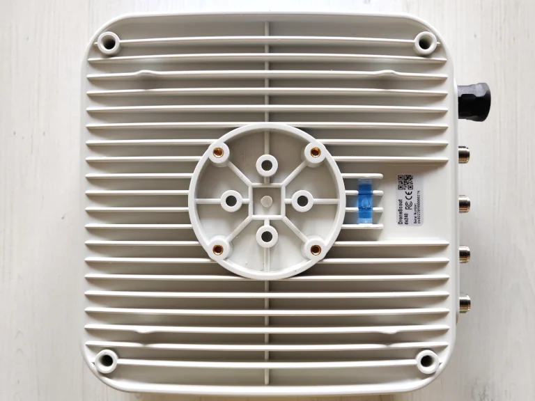
The receiver can be installed to a pole mast or to a wall by using the included mast mount and is suited for outdoor-operation.
Python MQTT subscriber code to process, log and display MQTT messages published by DroneScout receivers can be found on GitHub: https://github.com/BluemarkInnovations/RemoteID-MQTT-subscriber

DroneScout dashboard
Applications for the DroneScout Remote ID receiver
The beacon information can be used by general public, law enforcement and drones to give better situation awareness of the airspace around them. Applications of Remote ID receivers are in the area of security and safety. It can be security intelligence firms that are interested in nearby drones. Or airports that want to detect nearby drones to avoid unsafe situations.
Specifications
ds230 Remote ID receiver
Short-range radio
Bluetooth 2.4 GHz
WiFi 2.4 GHz, 5.2 GHz, 5.8 GHz
Antennas
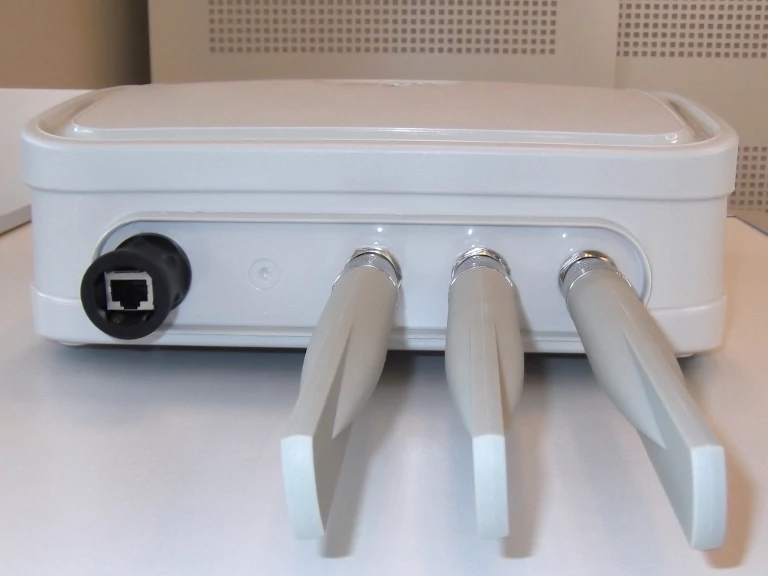
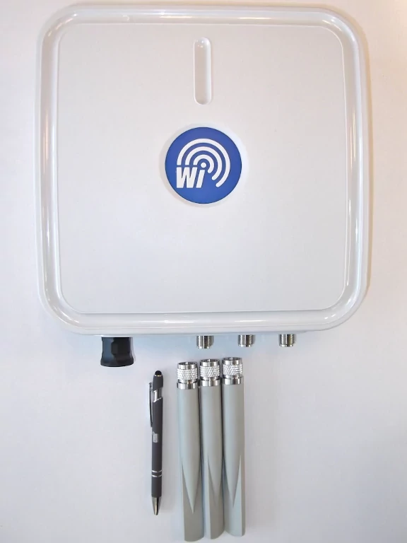
5 dBi antennas (N connector, 1x Bluetooth, 2x WiFi tri-band antenna). Can be replaced with other antennas.
Detection area
80 km2 / 5 km radius. See also section 1.9 of the manual. The actual detection area can be bigger or smaller as it depends on the installation location, such as height and obstruction of large buildings.
Power
PoE (Power over Ethernet): 802.3af/at
Average current consumption
< 5 W
Connectivity
10/100M/1000M Ethernet interface
Enclosure
plastic
Fastening mechanism
mast mount for pole mast or wall installation
IP rating
IP67
Operating temperature
-20°C to +50°C
Dimensions
27.2 x 27.6 x 9.6 (without antennas).
Weight
1.4 kg (with mast mount 1.9 kg)
Short-range radio
Bluetooth 2.4 GHz
WiFi 2.4 GHz, 5.2 GHz, 5.8 GHz
Antennas
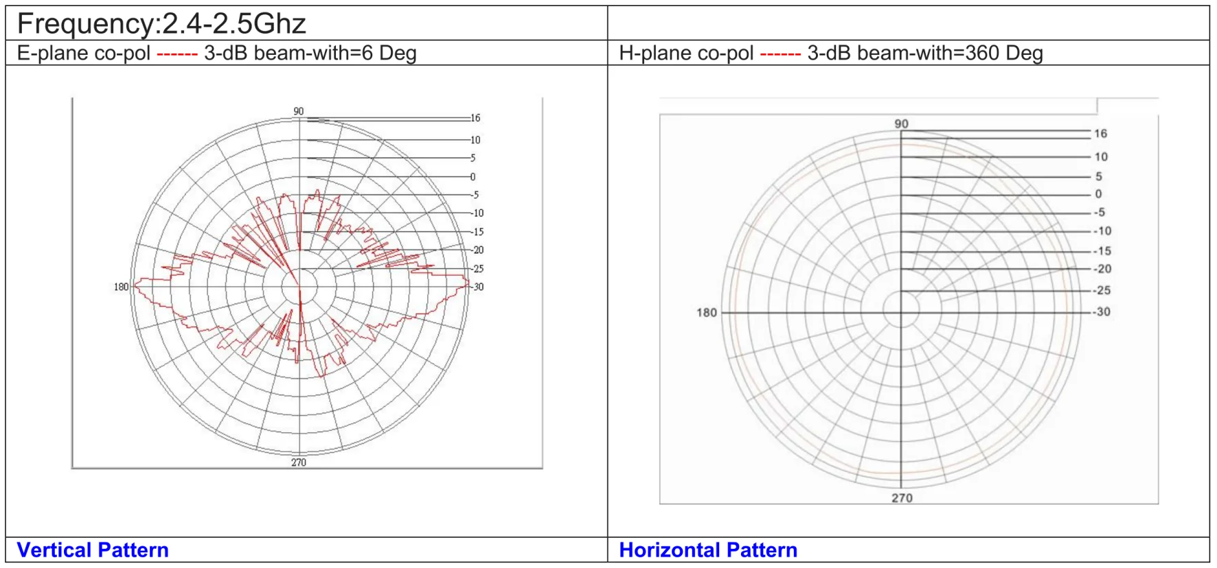
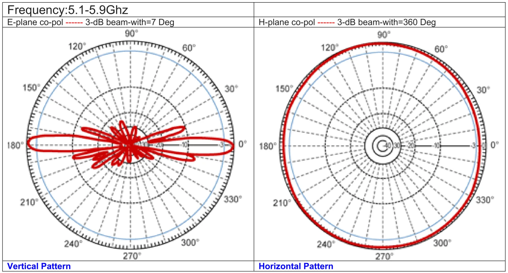
15 dBi antennas (N connector, 1x Bluetooth, 2x WiFi 2.4 GHz antenna, 1x WiFi 5.2/5.8 GHz antenna). The 2.4 GHz antennas are 150 cm long. Included are 4x surge protectors and 4x 100 cm antenna cables (N connector) Can be replaced with other antennas.
Barebone edition: no antennas, surge protectors and antenna cables included!
Detection area
700 km2 / 15 km radius. See also section 1.9 of the manual. The actual detection area can be bigger or smaller as it depends on the installation location, such as height and obstruction of large buildings.
Power
PoE (Power over Ethernet): 802.3af/at
Average current consumption
< 5 W
Connectivity
10/100M/1000M Ethernet interface
Enclosure
plastic
Fastening mechanism
mast mount for pole mast or wall installation
IP rating
IP67
Operating temperature
-20°C to +50°C
Dimensions
27.2 x 27.6 x 9.6 (without antennas).
Weight
1.4 kg (with mast mount 1.9 kg) This excludes antennas. Antennas, RF cables, surge protectors are 5 kg.
DroneScout SDK Remote ID receiver (Docker-based)
Short-range radio
Bluetooth 2.4 GHz
WiFi 2.4 GHz, 5.2 GHz, 5.8 GHz
Antennas
not provided. There are 3 (ds230 radio board) or 4 (ds240 radio board) u.FL antenna connectors.
Operating temperature
-20°C to +50°C
Dimensions
115 x 26 mm (ds230 radio board).
153 x 26 mm (ds240 radio board).
DroneScout application
runs on ARM64/x86-64 platforms using Docker virtualization
Price model
The price model consists of a one-time setup fee to help you integrate our product. A fee to purchase the ds230 or ds240 radio board. And a one-time fee for the DroneScout application (this can also be an annual fee).
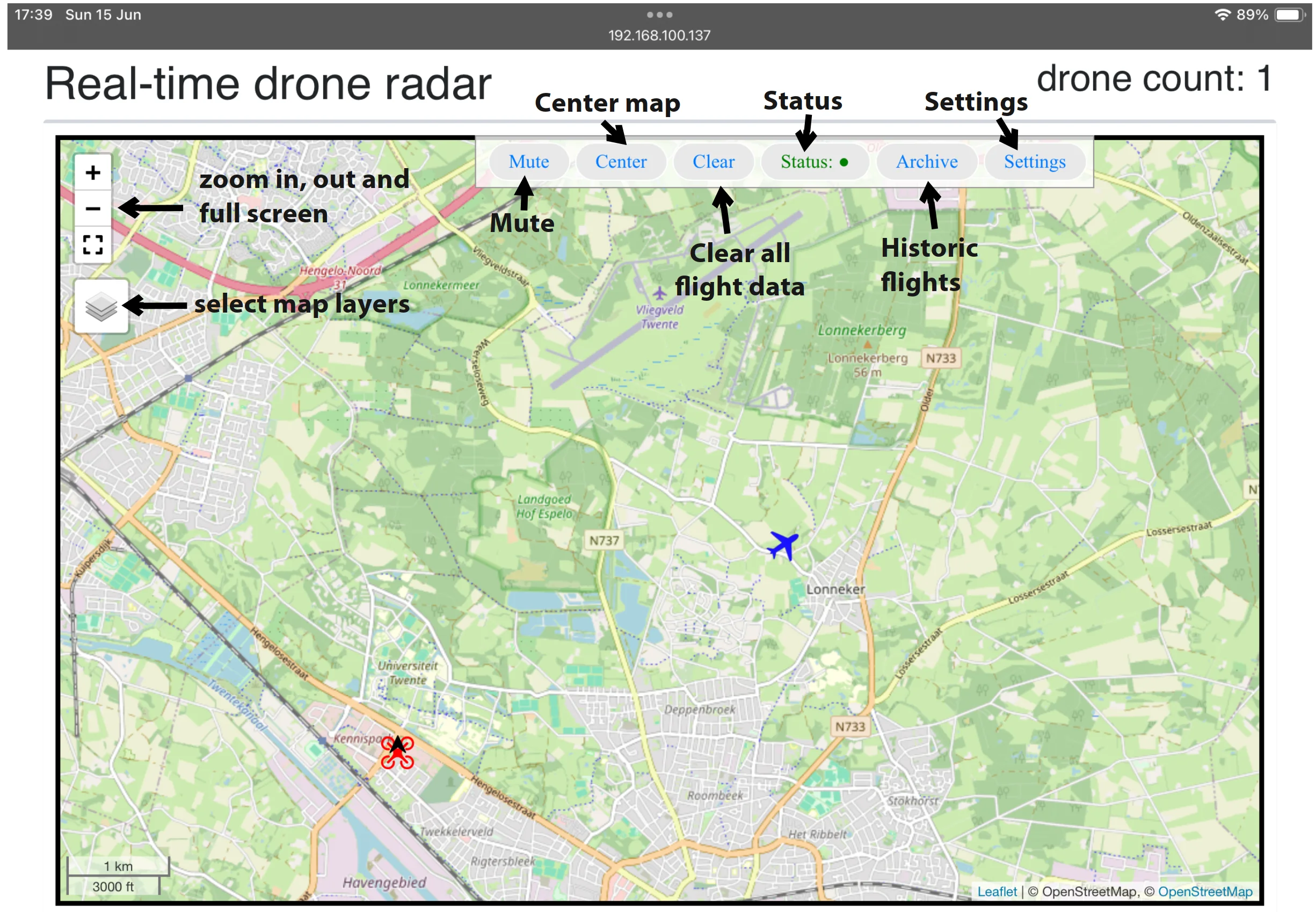
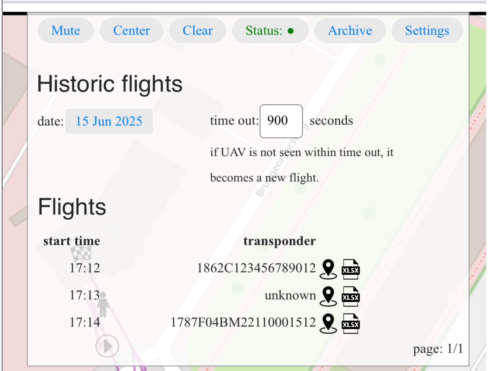
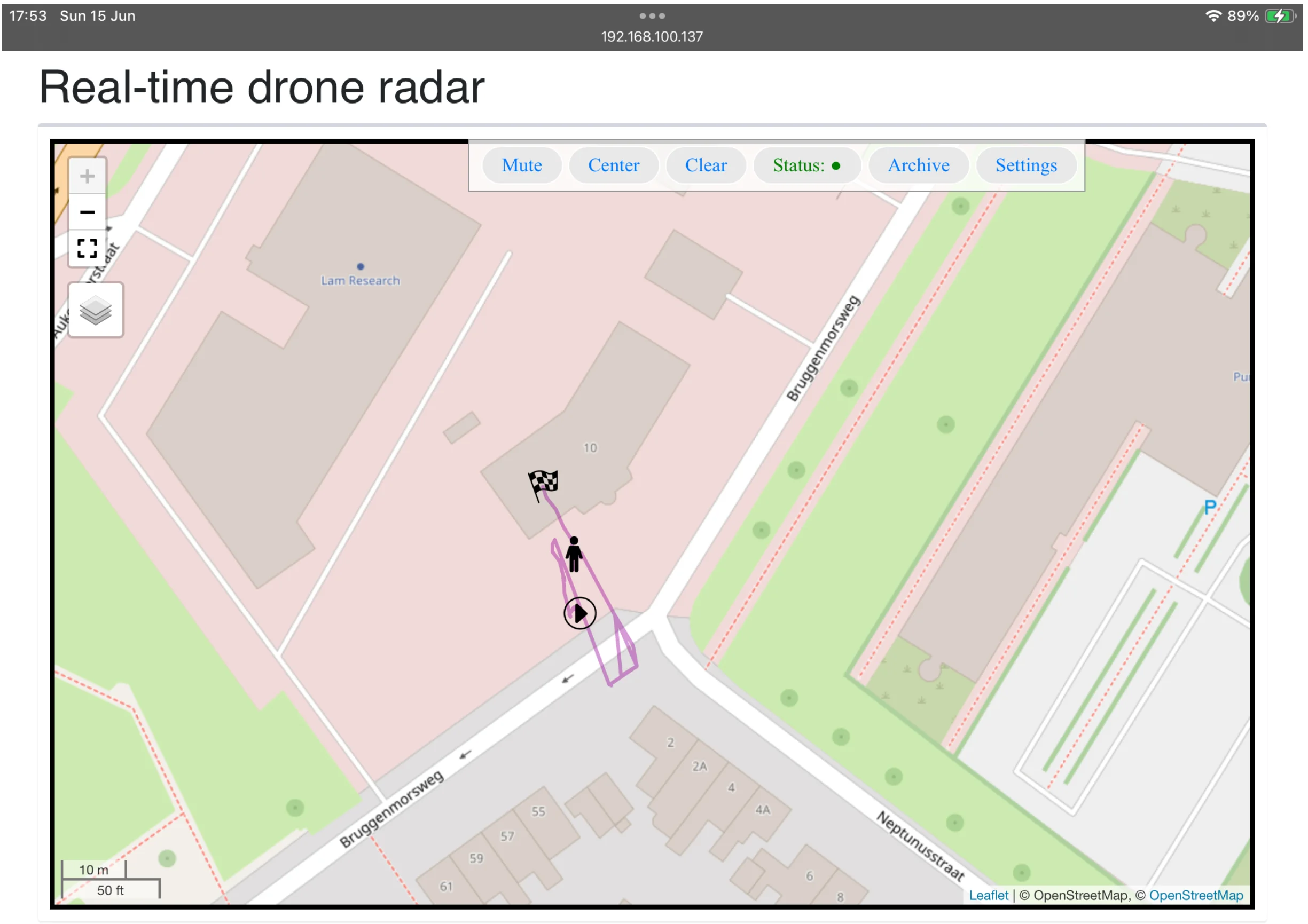
What: a basic dashboard solution to visualize, store and export RemoteID data. Intended use cases: single sensor deployments.
Visualization: web page
Storage: compressed SQLite database
Map layers
* OpenStreetMap
* Option: offline OpenStreetMap (contact us for more info)
Functionality
* Realtime view (including aircraft ADS-B/UAT/ADS-L if HW option has been installed.)
* Historic flights (view on map, export to Excel)
Size: ~35 Mbyte (dashboard, database, MQTT broker)
Price model: Onetime fee.


